


Waves and sea-level analysis
The IRCA operates buoys for wave analysis around the country.
Sea-level measurements are undertaken by the IRCA in co-operation with Iceland’s harbours.
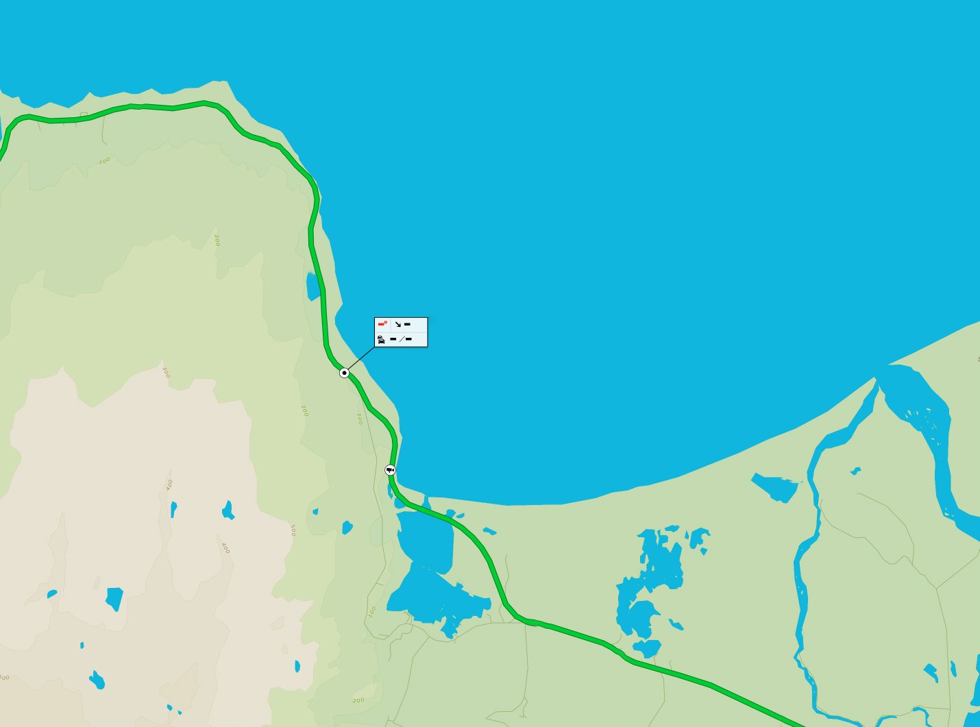
A wave map is the product of wave forecast data and wave pattern analysis in the shallows along the country’s coastline.
Table of contents
Waves and sea-level analysis
Wave maps
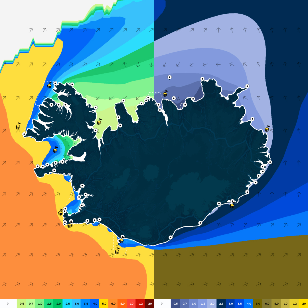
Wave maps show average wave height for a particular wave frequency, or wave recurrence period. These maps are particularly useful for e.g. passenger sailing operations, harbour infrastructure design, and sea farming.
Wave maps are developed through long-term wave pattern analysis. Wave pattern analysis builds on precise depth measurements and wave information (wave height, swing period and directionality) on the open ocean and during tide. Depth measurements are provided by the Icelandic Coast Guard and the IRCA. Wave and wind chronology are provided by the European Meteorological Office (ECMWF) from select nodes over a 20-30 year time period. In the making of certain wave maps, wind data from the Icelandic Meteorological Office is used.
Deep water waves arriving at the coast are calculated with the MIKE21 software developed by the Danish hydrodynamics institute DHI. Statistical timeline processing for select oceanic regions provide the basis for the wave maps. Statistical analysis is based on the generalized Pareto probability distribution.
Sea level measurement
Sea level gauges are situated in multiple harbours around the country. The gauges were, in most cases, put in place at the IRCA’s behest, and the oldest gauges have been in place since before 1995. The harbours own and are responsible for the gauges, but operating them is largely handled in co-operation with contractors.
Data from these measurement platforms are, among other places, published on the IRCA website sjólag.is. The sea level gauges provide information on low, and high-tide timings, as well as real-time sea level measurements. These data are important for ship, and boat traffic operating in and around the harbour. In addition, sea level measurements are also useful in estimating long-term changes in average sea level elevation, as well as highest and lowest sea levels to be expected e.g. for flood height estimation. Below, annual reports using data from the sea level gauges around the country are available in Icelandic. Various useful information concerning sea level measurements of the last few years can be found in these reports.