

Key projects
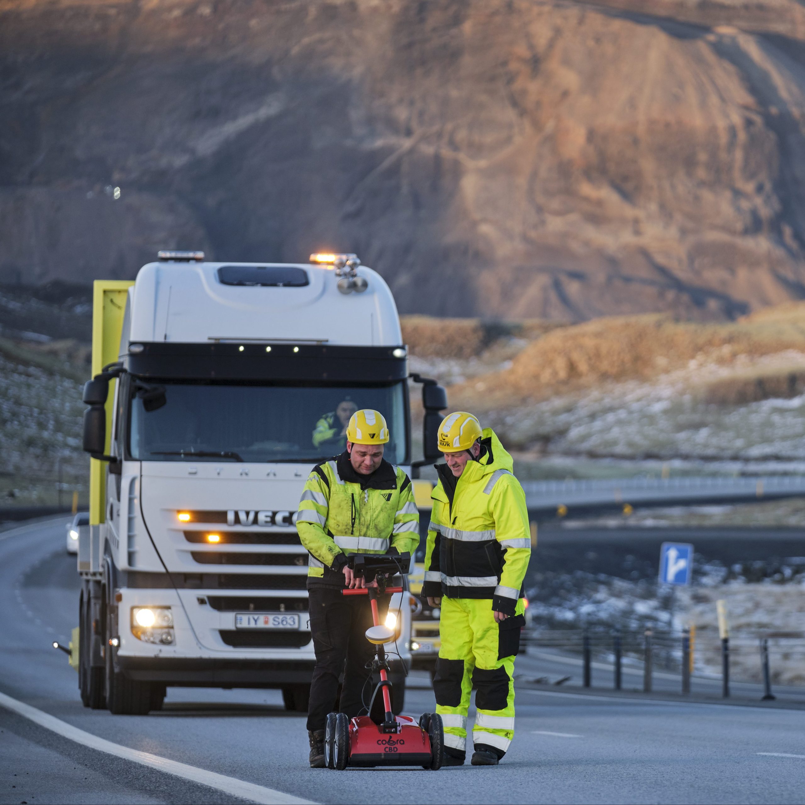
As the authority responsible for the Icelandic highway system, the IRCA has the challenging mission of overseeing new construction alongside maintenance and operation on all highways across the country. Highways which are seeing increased use by locals and travellers alike, year over year. At any given point, the administration manages dozens of projects at a time, spread across all regions. These projects range from routine maintenance of rural highways to commitments to new construction of large-scale infrastructure, such as bridges and road tunnels.
Table of contents
Article 1 of parliamentary legislation #120/2012, pertaining to the IRCA, states that the administration is responsible for developing, maintaining and operating the country’s transportation system, and that the IRCA is furthermore responsible for ensuring that the transportation system develops in accordance with societal and environmental goals. With these criteria in mind, the agency’s prioritisation in project development must be determined by the comprehensive gain a project stands to bring to both inhabitants and visitors alike.
Since the beginning of the decade, the IRCA has invested considerable capital and labour towards modernising the road network, easing congestion on key routes, reducing the number of single-lane bridges and facilitating sustainable modes of transport. These projects are undertaken in accordance with the parliamentary transport plan: a long-term roadmap detailing investment, maintenance, and construction of new infrastructure nationwide, revised every few years by the ministry of infrastructure.
The current transport plan, in effect from 2026 to 2040, was accepted in parliament on June 12th, 2026. The plan’s chief aims are to develop safe, easily traversable, economically feasible and environmentally sustainable infrastructure, whilst ensuring positive urban development and public health benefits for Icelandic citizens. The current transport plan, to name a few examples, increases funds allotted to routine maintenance, plans the discontinuation of all single-lane bridges on the Ring Road, estimates the construction of more than 450 km of new hard-surface roads in place of gravel roads, and seeks to greatly enhance winter service capabilities.
IRCA priority projects
Alongside routine maintenance, any given transport plan must also include an itemised list of new infrastructure projects receiving funding, as well as detailing which period of the plan any given project is to be funded. Below is a list of selected projects designed to improve connections between developed cores, increase safety on the Icelandic road system and support environmentally sustainable modes of transport.
Be advised that this list is not comprehensive.
The Ring Road: Bridge over Ölfusá
In southern Iceland, an hour’s drive from Reykjavík, the Ring Road through Selfoss consistently remains one of the busiest bottlenecks in the country, behind the main roads of Reykjavík, and the road from the capital to Keflavík airport. Thousands of people utilise the road through Selfoss daily for commutes and travel alike, with those numbers rising drastically and frequently on travel-heavy weekends, such as on Commerce day weekend, when thousands head to the Westman Islands for Þjóðhátíð and further east for other festivals.
Selfoss sits on the banks of the Ölfusá river, the country’s most voluminous river, and a natural bottleneck for travel in Iceland’s south. Serving as the only bridge crossing from east to west over the river for 40 km, the current Selfoss bridge — more than eighty years old — has been overloaded and pushed beyond capacity in recent years, as long queues frequently form around the bridge on busy days. These factors were among the reasons it was deemed necessary to construct a brand-new bridge over Ölfusá, one that would permit travellers passing through Selfoss to bypass the town entirely if they so desired.
The new Ölfusá bridge will be a 330 m long, cable-stayed bridge, built to the east of Selfoss, bypassing the current Ring Road. Also included in the project is the construction of about 3.7 km of new roads to connect the bridge to the rest of the Ring Road, including the construction of a new junction east of Selfoss.
The project has a long history, with drafting and design operations taking place as far back as 2004. With the conclusion of recent widening operations on the Ring Road from Reykjavík down to Hveragerði and Selfoss, the new bridge over Ölfusá represents the final step taken in crucial improvements to the southern Ring Road which has been decades in the making.
As of August 2026, support structures are in place on the river’s west bank, and foundations for the bridge tower have been cemented on Efri-Laugardælaeyja island. Welding work has also begun on the bridge’s steel frame. The bridge is scheduled to open to the public in the second half of 2028.
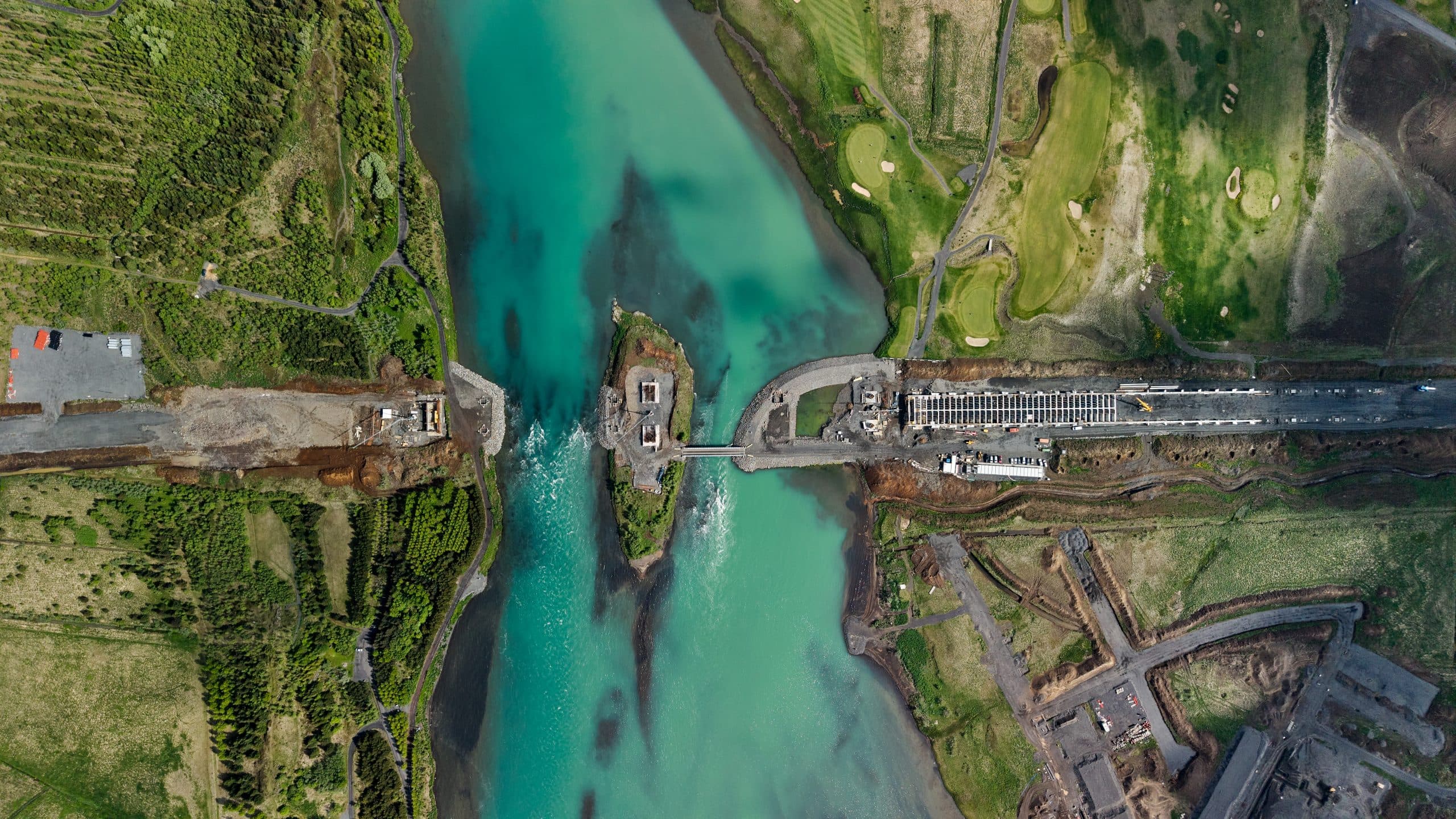
The site where the new Ölfusá bridge will rise, east of Selfoss. June 2026.
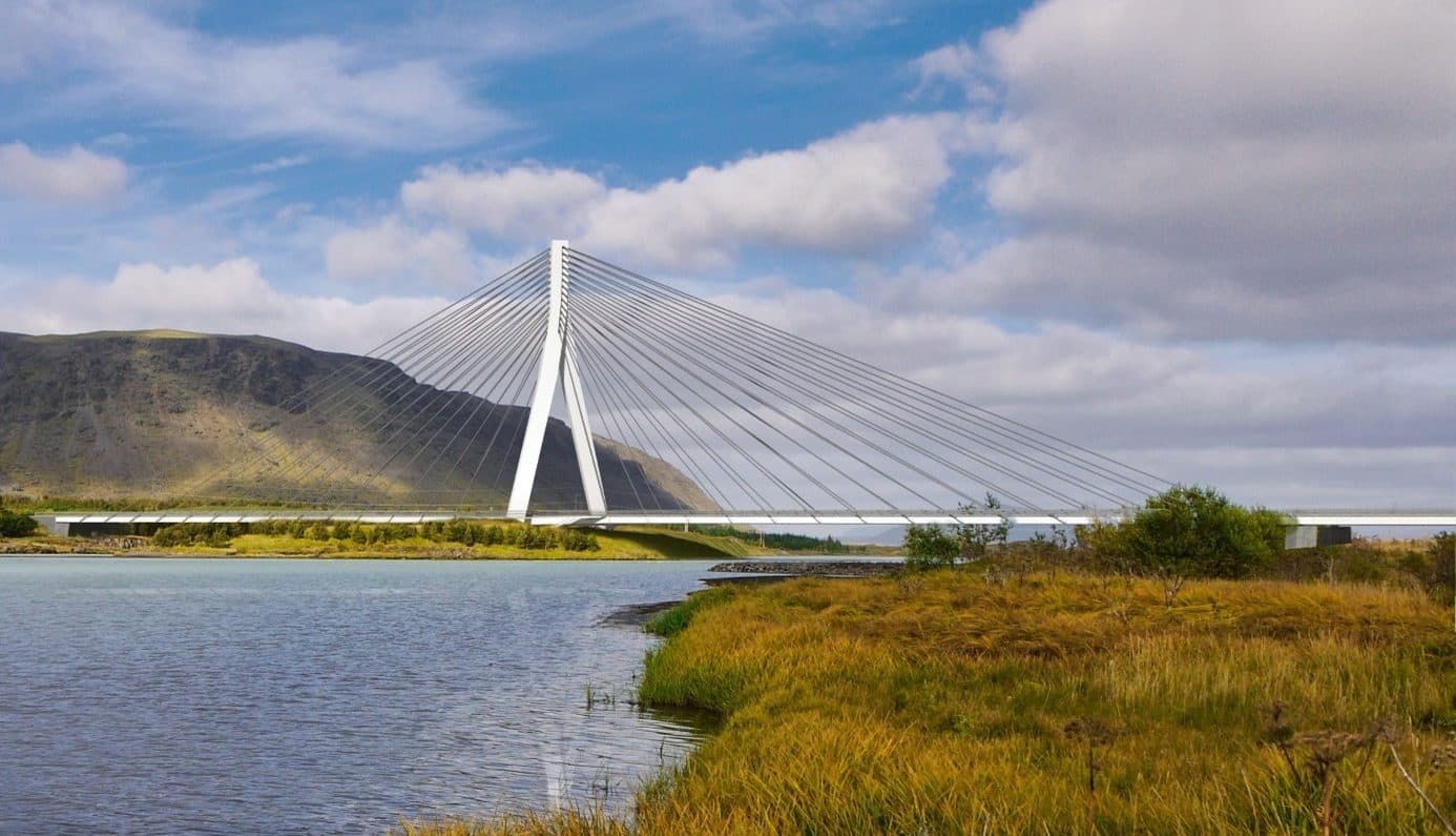
A computer generated image showing what the bridge will look like
Sæbraut road tunnel
One of Reykjavík’s busiest highways, Sæbraut’s central location will be a cornerstone for future sustainable development in the city. Currently, Sæbraut contributes to an unhospitable environment during the daily rush hour, and is estimated to further contribute to increased private vehicle use in neighbouring areas, with the adverse effect predicted were increased access to eco-friendly transportation infrastructure made more readily available.
In accordance with parliamentary legislation #120/2012 pertaining to the IRCA, the institution should promote and develop safe, sustainable, efficient and economical modes of transport. The IRCA is furthermore a party to the Transportation agreement, signed in 2019, which aims to increase quality of life in Reykjavík and the surrounding municipalities through the development of infrastructure aimed at environmentally sustainable modes of transport. These factors form the the basis of reasoning for the construction of the Sæbraut road tunnel.
The IRCA intends to construct a road tunnel over roughly 1 km of Sæbraut in order to reduce local noise pollution and to increase the feasibility of sustainable transport in the surrounding neighborhoods. The road tunnel will stretch north from Miklabraut and past the intersection of Kleppsmýrarvegur and Skeiðarvogur. Included in the construction operations are access ramps between the tunnel and the intersection, as well as a new connection between Súðavogur and Suðurlandsbraut. All operations aim to ease congestion by redesigning intersections currently controlled by traffic lights to accommodate for seamless traffic flow.
At the completion of the road tunnel, a green space will be developed above the now-lowered Sæbraut, greatly improving walking and cycling connections between the new residential core of Vogabyggð and the rest of Reykjavík. The green space will further serve to connect with other green spaces in eastern Reykjavík, namely Elliðaárdalur and Laugardalur.
Construction on the project is estimated to begin in 2027, and to finish in 2030. The Sæbraut road tunnel is a key infrastructure project and a prerequisite for a number of other planned projects, including the Borgarlína Bus Rapid Transit (BRT) initiative and the proposed Sundabraut highway.
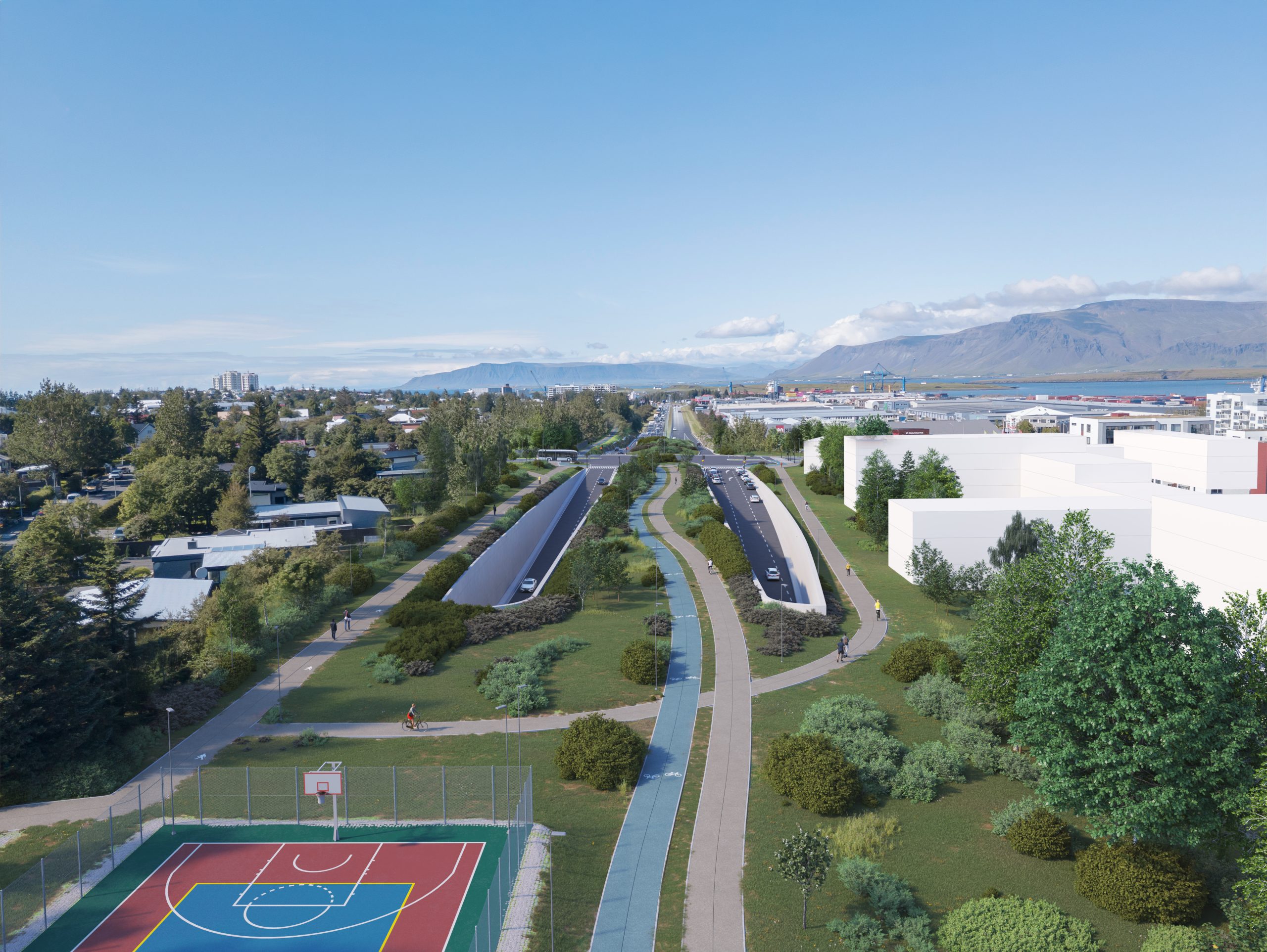
A computer generated image showing the potential green space above the road tunnel
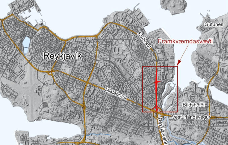
Aerial map of Reykjavík with the Sæbraut road tunnel highlighted in red.
Vestfjarðavegur – Gufudalssveit and Dynjandisheiði
A mountainous, sparsely populated region, the Westfjords are the most isolated major region in the western half of Iceland. The region is connected only to the rest of the country through two major roads, Vestfjarðavegur (60) — which has historically seen closures over the winter — and Djúpvegur (61) respectively, as well as through the ferry Baldur, which travels between the Westfjords and Stykkishólmur through Flatey island.
For the last few years, the IRCA has been engaged in significant improvement operations on two sections of Vestfjarðavegur — in Gufudalssveit, and on the Dynjandisheiði heath — in order for the road to meet the requirements its designation as a main road demands, and to facilitate year-round travel. The old road along Gufudalssveit, on the southern coast of the region, included two difficult, high-altitude mountain passes which were difficult to keep open in winter, and presented obstacles for heavy freight. The new road along Gufudalssveit aims to bypass these two mountain passes with new road construction through Teigsskógur forest, and the crossing of the Djúpifjörður and Gufufjörður fjords through land reclamation and the construction of three bridges, 58 m, 130 m and 210 m long respectively.
Also included in the project is a bridge over nearby Þorskafjörður, which was opened to traffic in 2023. All in all, this project greatly enhances and modernises transportation infrastructure in the region and shortens journeys by upwards of 20 km. In the design and organisation process, the project was split into 7 stages, of which 5 have been completed, with only the construction of the three aforementioned bridges remaining. The section in its entirety is set to be opened to public traffic in 2028.
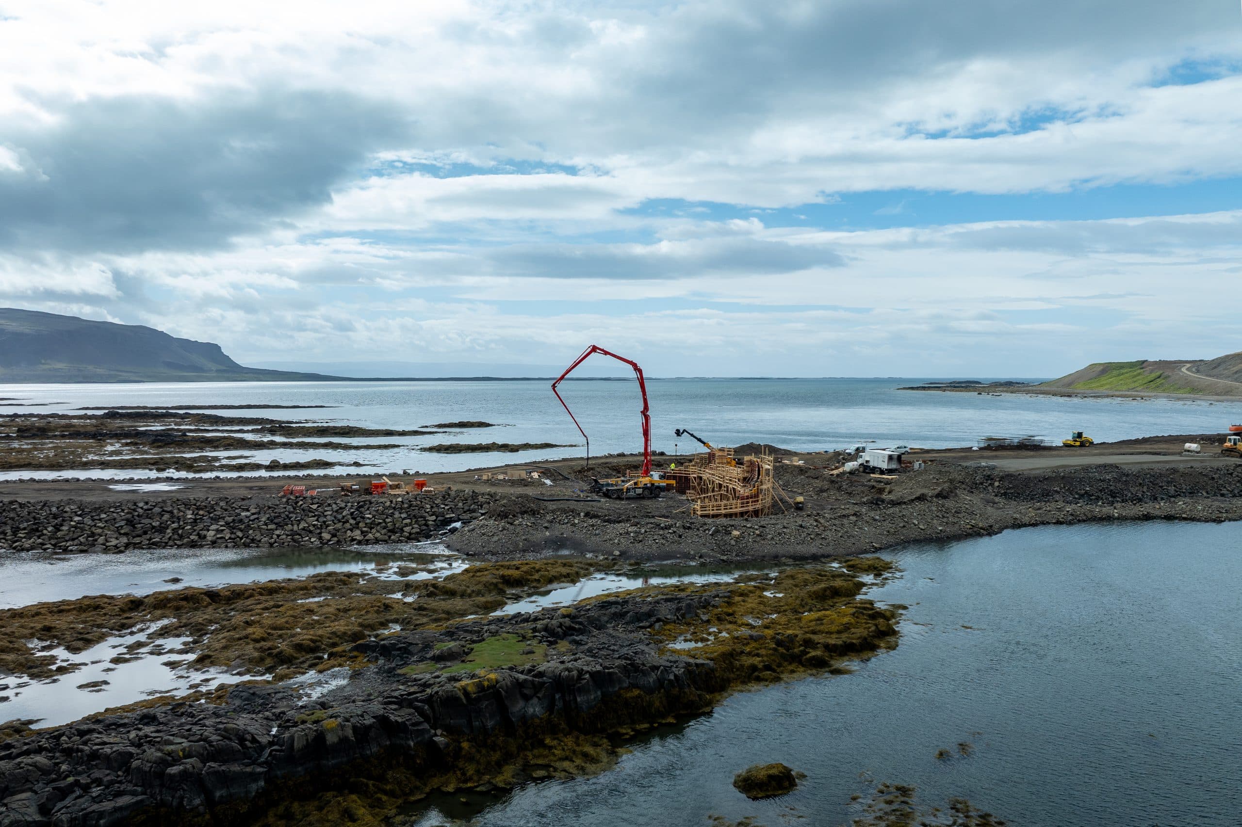
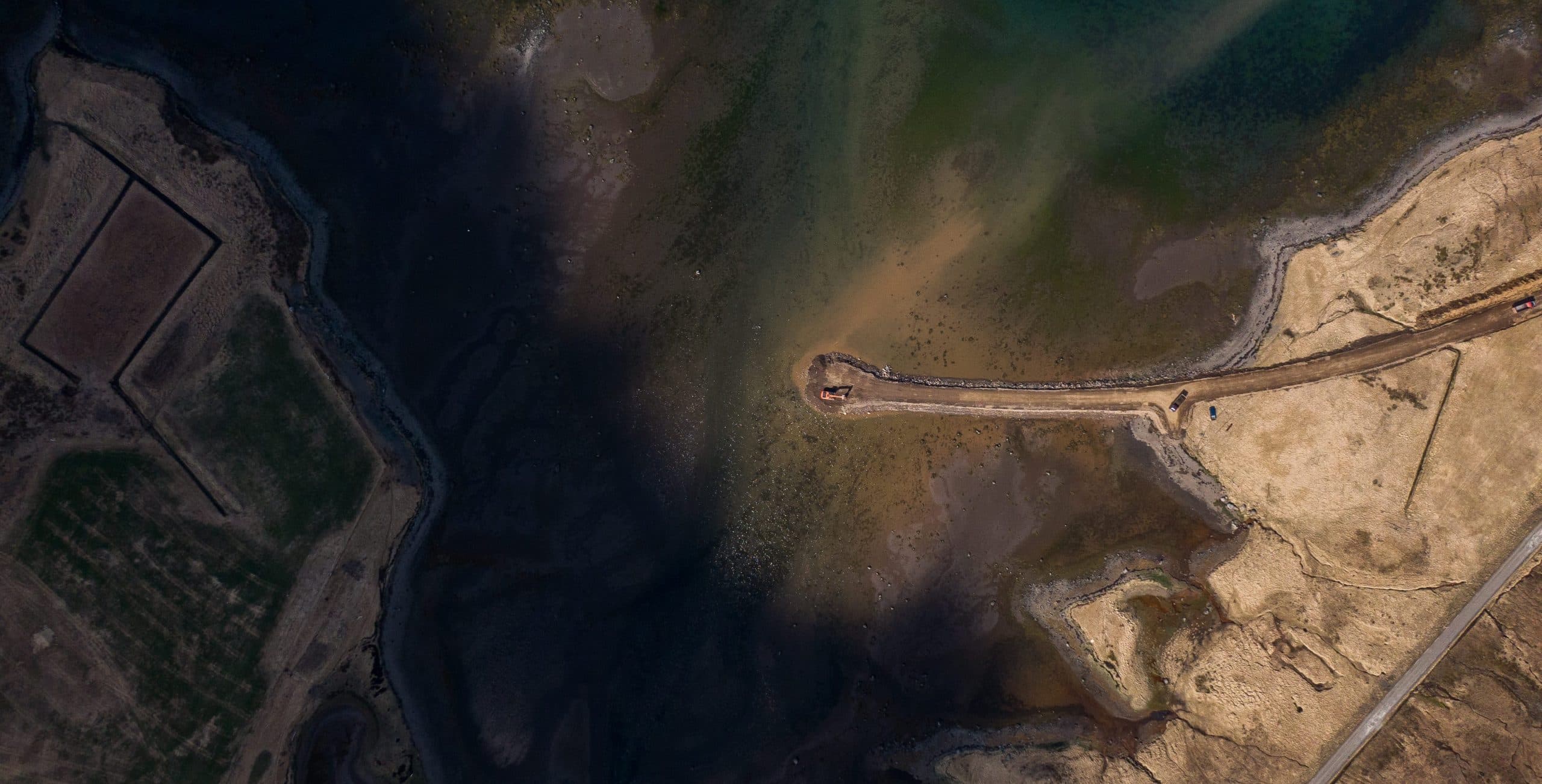
Land reclamation for the crossing of Djúpifjörður is well underway
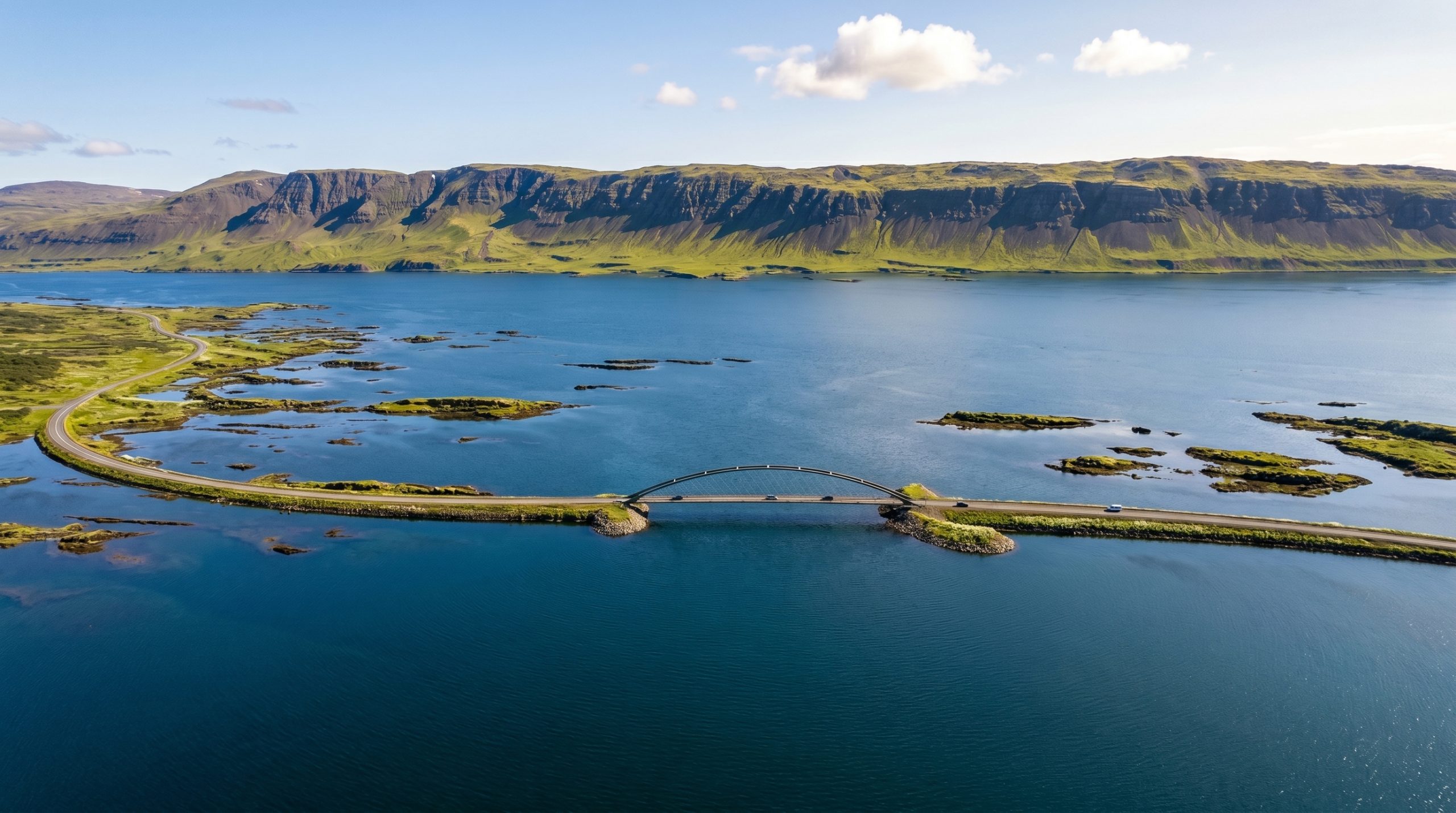
Computer generated image shows what the largest bridge over Djúpifjörður might look like once finished
About an hour’s drive north from construction projects in Gufudalssveit, the IRCA is also engaged in significant operations along the Dynjandisheiði heath. The completion of the Dýrafjörður tunnel in 2021 marked a significant step towards year-round travel capabilities in the area, yet in order to guarantee year-round travel, improvements needed to be made on the road over Dynjandisheiði heath, which dominates the southern part of the region.
In total, the project spans roughly 35.2 km of 8 m wide, year-round, hard-surface roads where only narrow gravel roads that frequently closed in winter were available previously. The project was split into three stages. The first two stages were finished in 2022 and 2024, and the final stage — which descends into Dynjandisvogur where the region’s namesake waterfall can be found — is expected to be completed in September of 2026.
With the completion of operations on Dynjandisheiði, the two main roads in the Westfjords, mentioned above, will be connected year-round, greatly improving communication and travel in a region growing ever-less remote.
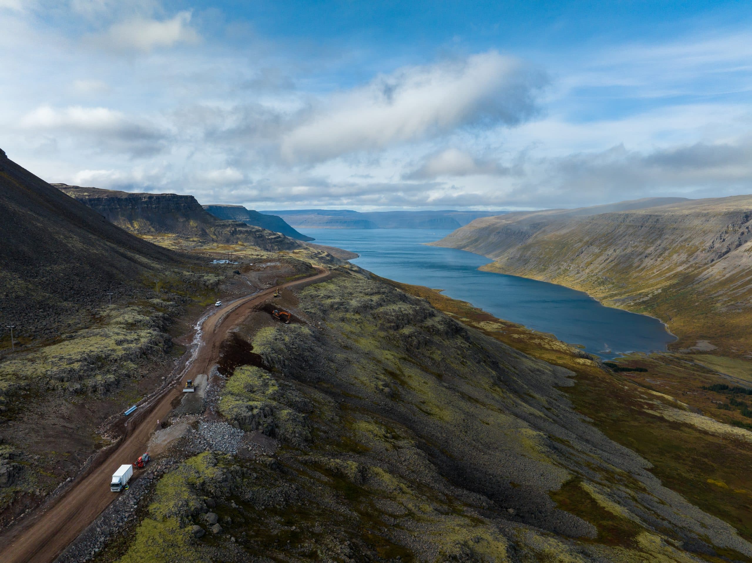
From the third section of construction operations on Dynjandisheiði
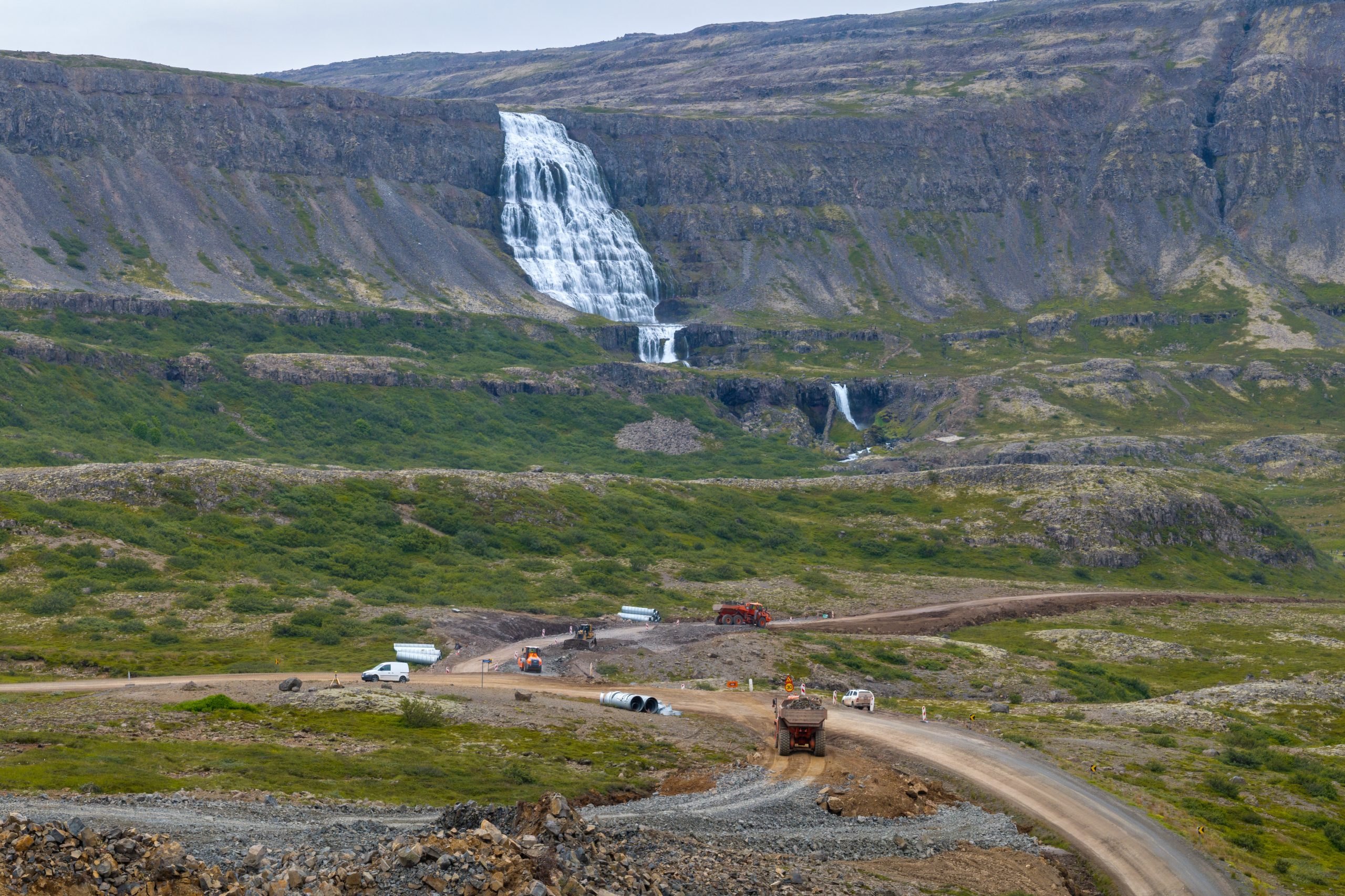
Construction operations are underway near the heath's namesake waterfall.
Fossvogur pedestrian and public transit bridge
In 2019, Reykjavík and 5 surrounding municipalities — Kópavogur, Hafnarfjörður, Garðabær, Mosfellsbær and Seltjarnarnes — reached an agreement with the state on the Transportation Agreement: a definitive, fifteen-year commitment to the ambitious build-up of environmentally sustainable transportation infrastructure and public transport options in the capital region.
The goals of the agreement are to increase safety, improve all modes of transport by reducing delays, invest heavily in public transportation and reducing pollution output — especially particulate and greenhouse gas output — in order to fulfil the climate action goals of the state and municipalities party to the agreement.
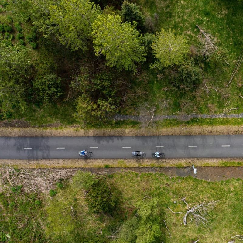
A number of projects related to the agreement have been completed, or are near completion, such as the comprehensive build-up of cycling and pedestrian paths, widening measures on Ring Road sections within city limits, and the extension to the Arnarnesvegur highway in Kópavogur. This being said, the pedestrian and public transit bridge over Fossvogur, or the Fossvogur bridge for short, is notable for being a large, costly infrastructure project entirely devoted to environmentally sustainable modes of transport.
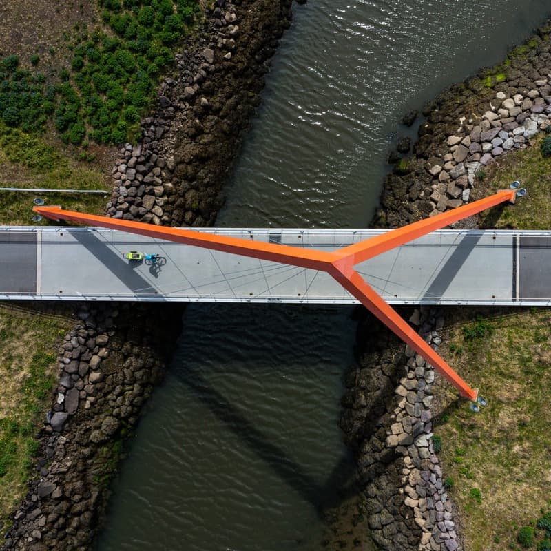
270 m long and up to 18 m wide, the bridge will connect Reykjavík with western Kópavogur permanently and exclusively through environmentally sustainable modes of transport. The bridge will include separated bike and pedestrian lanes on either side of the two public transit lanes planned to run through the bridge’s centre.
The Fossvogur bridge is the first large infrastructure project undertaken as part of the Borgarlína initiative, a proposed bus rapid transit (BRT) system servicing the entire capital region. The initiative proposes a network of priority bus lanes connecting key transit areas in Reykjavík and the surrounding municipalities, namely Hafnarfjörður, Kópavogur, Garðabær and Mosfellsbær.
Plans for the Borgarlína initiative have been subdivided into six lots. As of August 2026, only one lot, between Ártúnshöfði and Hamraborg through downtown Reykjavík, has entered into active development, with the Fossvogur bridge intended to act as a key part in all BRT journeys between Reykjavík and Kópavogur.
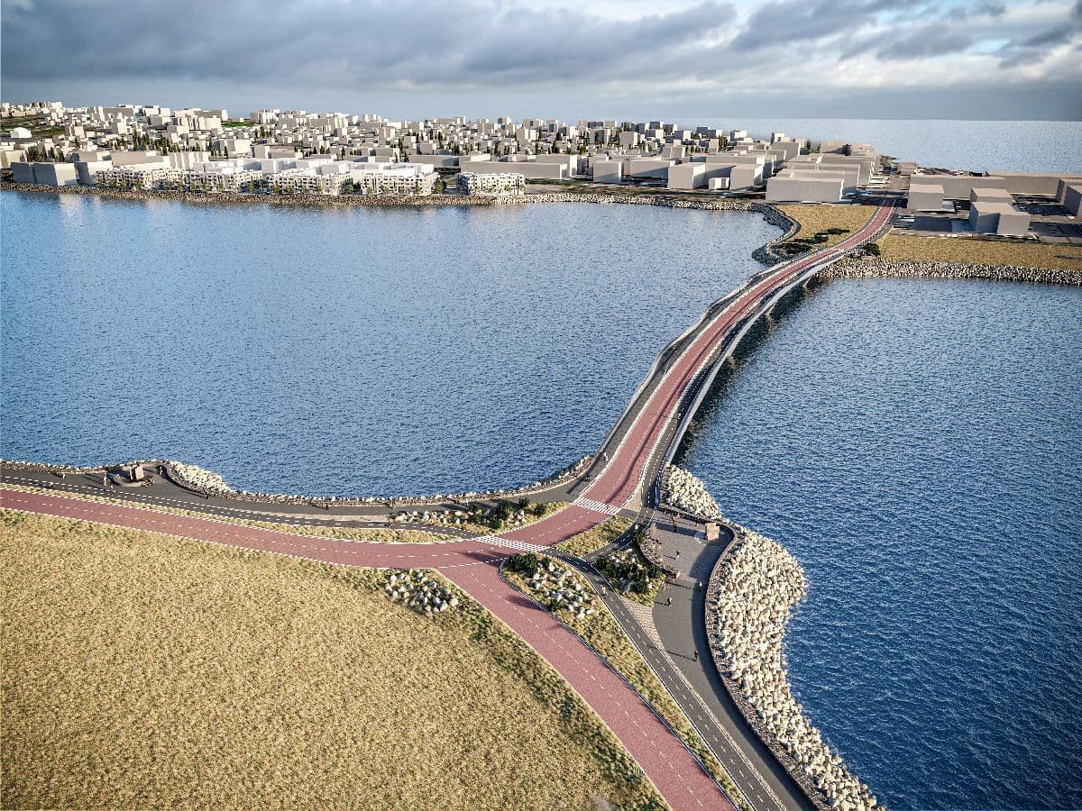
Computer generated image showing what the Fossvogur bridge will look like once finished
Sundabraut
As the city continues to expand past its boundaries and the population continues to steadily increase, the Reykjavík rush hour has become notorious for bumper-to-bumper traffic as vehicles channel towards the inner-city highways — namely Reykjanesbraut, Miklabraut and Hafnarfjarðarvegur — between Reykjavík and the surrounding municipalities every weekday morning and afternoon.
As per current developments in Reykjavík, the Reykjanesbraut-Miklabraut junction services all traffic between east and west-Reykjavík, whilst also servicing a large part of all through-traffic between Reykjavík and Kópavogur, Garðabær, Hafnarfjörður and Mosfellsbær, particularly for commuters travelling to and from Reykjavík’s eastern suburbs. Given this, the junction is stretched to capacity twice every weekday, with delays primarily occurring at the junction’s on and off-ramps.
To alleviate pressure off the Reykjanesbraut-Miklabraut junction, the IRCA intends to construct a highway that services as a connection between central Reykjavík and it’s easternmost suburbs, stretching further up to Mosfellsbær, and converging finally with the Ring Road at Kjalarnes. This road has been named Sundabraut, and is expected to serve as a new highway for traffic between Reykjavík and the north-east capital region.
Sundabraut’s final layout and routing remains to be decided through further negotiation of specifics. The decision whether to connect Sæbraut and Gufunes via bridge or undersea tunnel remains to be cemented, and current plans estimate that a variety of routes through the currently uninhabited Geldinganes remain viable. An environmental impact assessment report on the development of Sundabraut was published in October 2025, and in June of 2026, the Housing, Construction and Planning authority deemed the report satisfactory, permitting the IRCA and the city of Reykjavík to work towards finalizing routing specifics.
Sundabraut’s total construction time is estimated to be around 5 years. In total, 11 km of new roadway, alongside a minimum of three new bridges, with a further undersea tunnel or a fourth bridge, are included in the project.

A number of public meetings have taken place between 2025-2026 to introduce the proposed new highway.
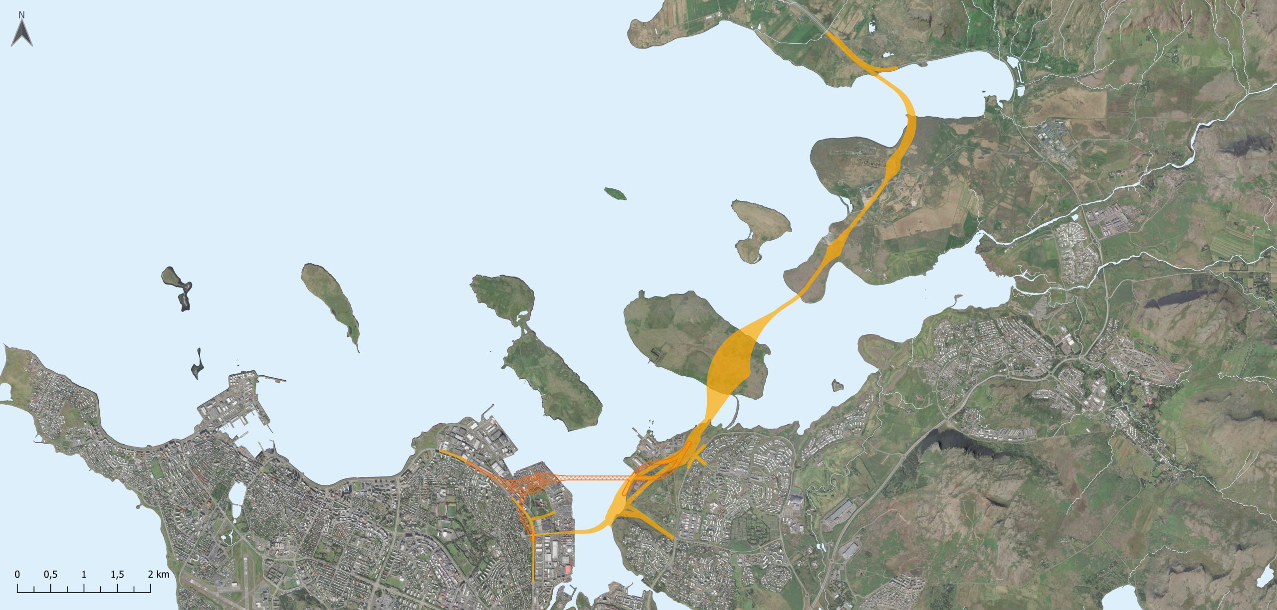
A map showing roughly the proposed routing of Sundabraut.
The Ring Road: New Hornafjarðarfljót bridge
Historically, South-East Iceland has been one of the country’s most isolated regions, given its proximity to Vatnajökull and the effect which the glacier has on the surrounding area; volcanic sands and glacial rivers, prone to bursting their banks in glacial outburst floods, have made infrastructure development a particular challenge in the region.
The glacial river in Hornafjörður, or Hornafjarðarfljót, just west of the developed core of Höfn, was up until recently only bridged by a singe-lane bridge on a route which deviates more than 10 km from the general routing of the Ring Road. This detour represented a considerable extension to travel times within the region, whilst also risking a bottleneck at the roughly 400 m long, single-lane bridge during times of increased traffic.
In efforts towards positive development, and in accordance with the parliamentary transport plan’s goal to eliminate single-lane bridges on the Ring Road, the IRCA sought to improve the crossing of Hornafjarðarfljót through the development and construction of a new, two-lane bridge, supported by land reclamation on either side of the riverbank, that better conforms to the routing of the surrounding Ring Road.
The new Hornafjarðarfljót bridge has been in development for almost two decades. The IRCA published an environmental impact assessment report in April of 2009, but a variety of factors, economic and otherwise, prevented the bridge from entering development. Final agreements with local stakeholders and landowners were reached in 2017, and construction finally began in the summer of 2022. In May of 2026, the new bridge was formally opened to public traffic.
The new bridge shortens journeys in and through the Hornafjörður region by upwards of 15 km per trip, whilst also eliminating traffic delays caused by traffic on single-lane bridges.
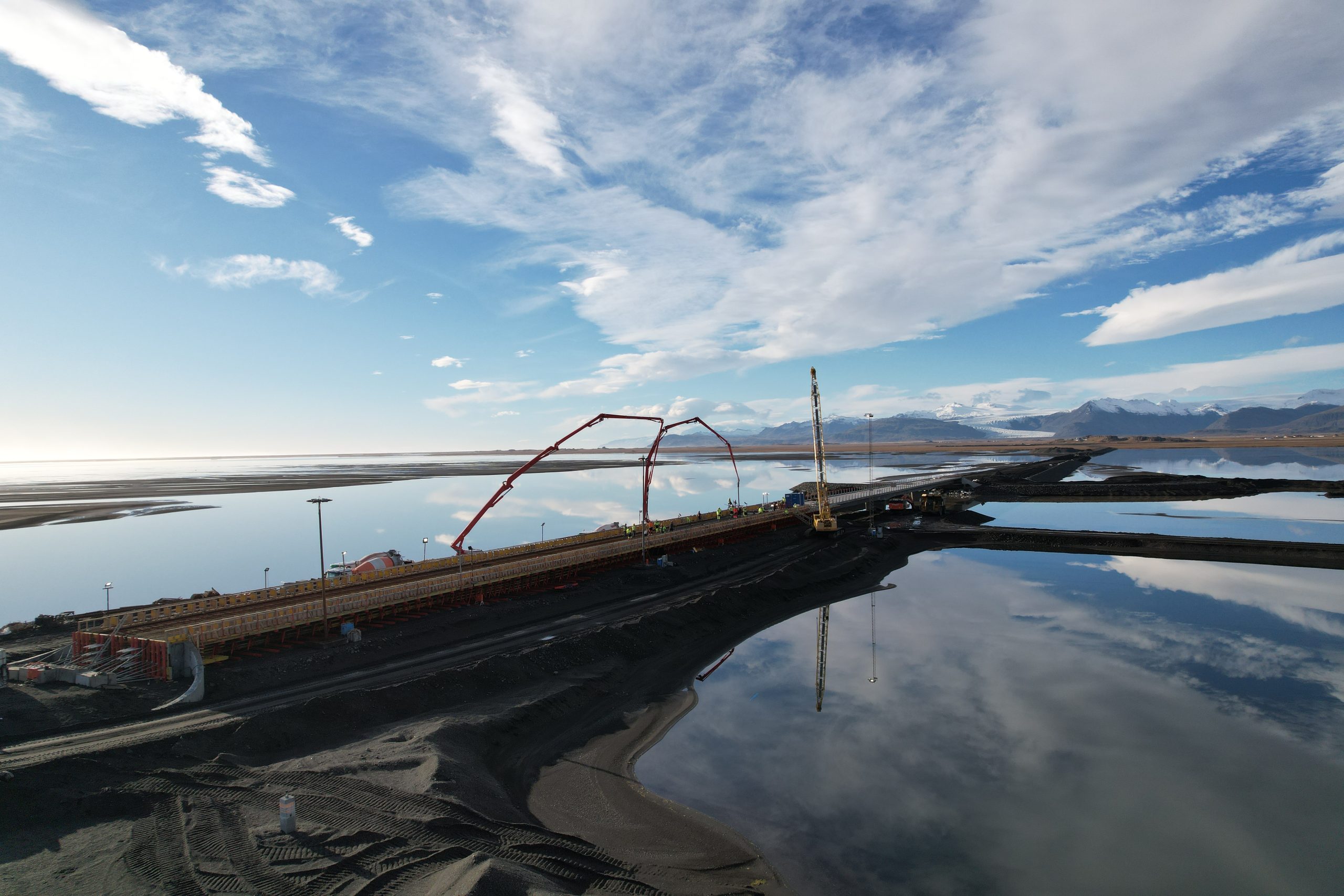
From construction operations by Hornafjarðarfljót
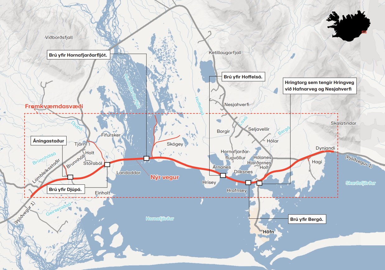
A map of Hornafjörður, highlighting the new routing of the Ring Road in red